In the fall of 2022, I developed an online database of former Kmart locations for GEO459, my senior capstone course. Much of this data already existed, but it needed to be cleaned up, properly formatted, and expanded upon.
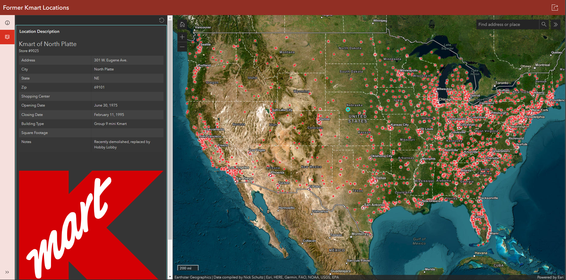
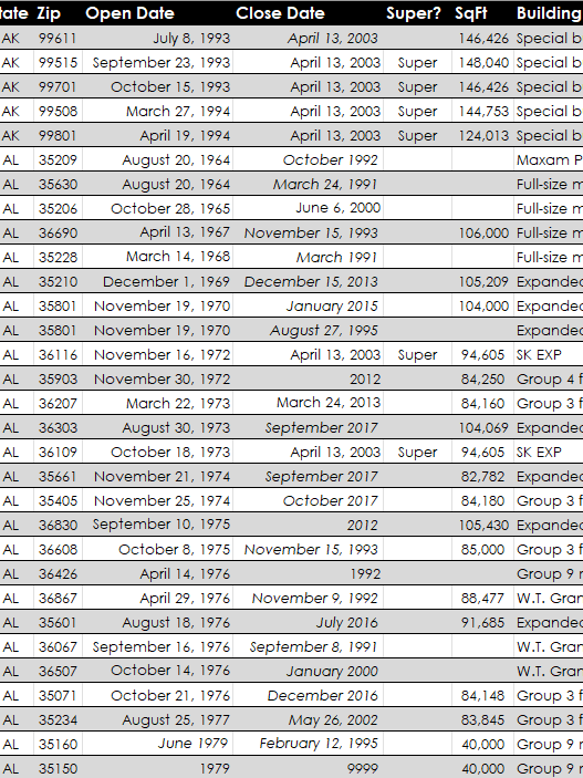
After the data was complete, I imported it into ArcGIS Online as a feature layer. From there, I developed a web app that shows every location that ever existed. When a user clicks on a location, all existing data regarding that location is shown. This includes store number, address, shopping center (if applicable), opening date, closing date, building type, square footage and notes.
A user can also change the layers and view satellite imagery that shows what the site looks like today, which gives hints as to whether the site has been reused or redeveloped.
Here is a link to the interactive location map.
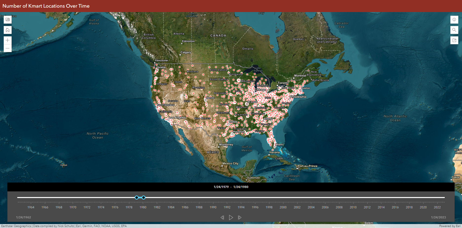
Additionally, I created a time slider that showed which locations were open at any given time. The time slider can be viewed here.